Maps & Data
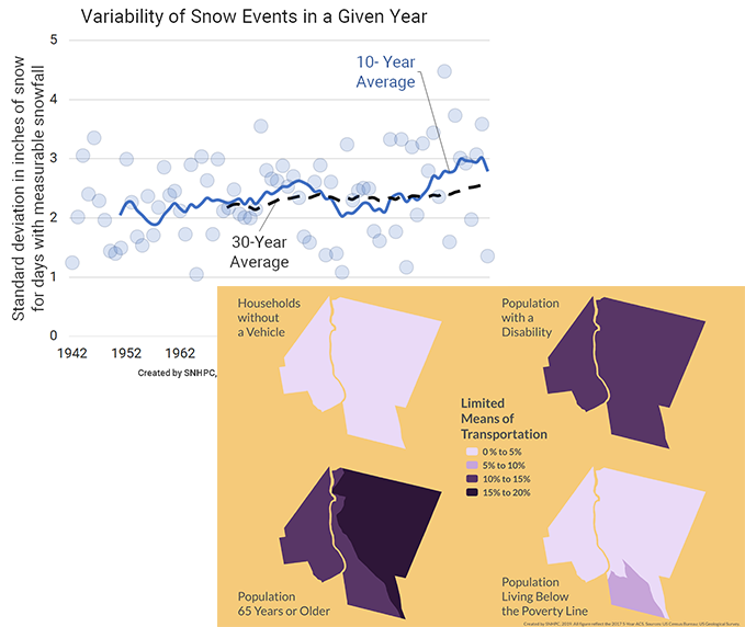
SNHPC provides GIS services to its 14 member communities, and Federal, State and local agencies. These services include extensive mapping, geospatial analysis, and web development. GIS is also a critical component of larger planning projects such as master plans, hazard mitigation plans, open space plans, zoning updates, demographic surveys, and many others.

For more information about the GIS, mapping, and data services SNHPC provides, please contact Zachary Swick, Senior GIS Analyst, at zswick@snhpc.org or 603-669-4664.

